WashingtonReservoir, 8,146 acres, Franklin County
Lake Sacajawea water level
Current level
439.08ft above sea level
Reading from Oct 26, 2026
- Past 24 hours
- +0.02ft
- Past 7 days
- +0.11ft
- Past 30 days
- +0.19ft
- Trend
- Rising
Lake Sacajawea was at 439.08 ft on October 26, rising 0.11 ft over the past week.
Last 30 days
Recent daily readings
| Date | Level (ft above sea level) | Change |
|---|---|---|
| Oct 26, 2026 | 438.99 | -0.07 |
| Oct 25, 2026 | 439.06 | +0.11 |
| Oct 24, 2026 | 438.95 | -0.05 |
| Oct 23, 2026 | 439.00 | -0.13 |
| Oct 22, 2026 | 439.13 | -0.04 |
| Oct 21, 2026 | 439.17 | +0.28 |
| Oct 20, 2026 | 438.89 | -0.08 |
| Oct 19, 2026 | 438.97 | -0.03 |
| Oct 18, 2026 | 439.00 | +0.03 |
| Oct 17, 2026 | 438.97 | +0.25 |
| Oct 16, 2026 | 438.72 | -0.10 |
| Oct 15, 2026 | 438.82 | -0.22 |
| Oct 14, 2026 | 439.04 | +0.35 |
| Oct 13, 2026 | 438.69 | +0.21 |
Reading these numbers
Readings are reservoir surface elevations in feet, as published by the U.S. Army Corps of Engineers. Compare them with ramp and dock elevations from the lake operator to judge whether a launch is usable.
On a reservoir, a few feet of drop changes the shoreline more than you would think. Low water exposes stumps, sandbars and old roadbeds that are normally well under the hull, and some ramps end before the water does.
High water brings its own problems: floating debris after storms, flooded docks and courtesy piers, and no-wake rules near flooded campgrounds. A quick look at the trend before you hitch up saves a wasted trip.
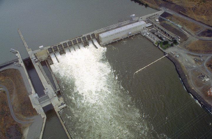
The gauge is listed by USACE as Ice Harbor Lock and Dam. Wind can pile water up at one end of a big lake for a few hours, so short spikes on a windy day are normal.
Lake Sacajawea water level questions
What is the water level at Lake Sacajawea today?
Lake Sacajawea was at 439.08 ft on October 26, rising 0.11 ft over the past week.
Is Lake Sacajawea rising or falling?
Over the last seven days the level has risen (+0.11 ft), and it is +0.19 ft compared with 30 days ago.
Where does the Lake Sacajawea water level data come from?
From the U.S. Army Corps of Engineers reading at Ice Harbor Lock and Dam. The Corps reports pool elevation, usually every hour, and early values can be revised after review.
How often is this page updated?
The page itself is rebuilt every day with the latest daily values, and the current reading refreshes straight from the Corps of Engineers each time you open it.
Nearby lakes
If Sacajawea is blown out, these are the closest alternatives. Tap through for their water levels.
- Lake Herbert G. WestReservoir, 4,273 ac, Washington27 mi
- Lake WallulaReservoir, 32,498 ac, Washington29 mi
- Cold Springs ReservoirReservoir, 1,440 ac, Oregon30 mi
- Scooteney ReservoirReservoir, 711 ac, Washington31 mi
- Bennington LakeNatural lake, Washington32 mi
- McKay ReservoirReservoir, 1,174 ac, Oregon45 mi